
Property Description
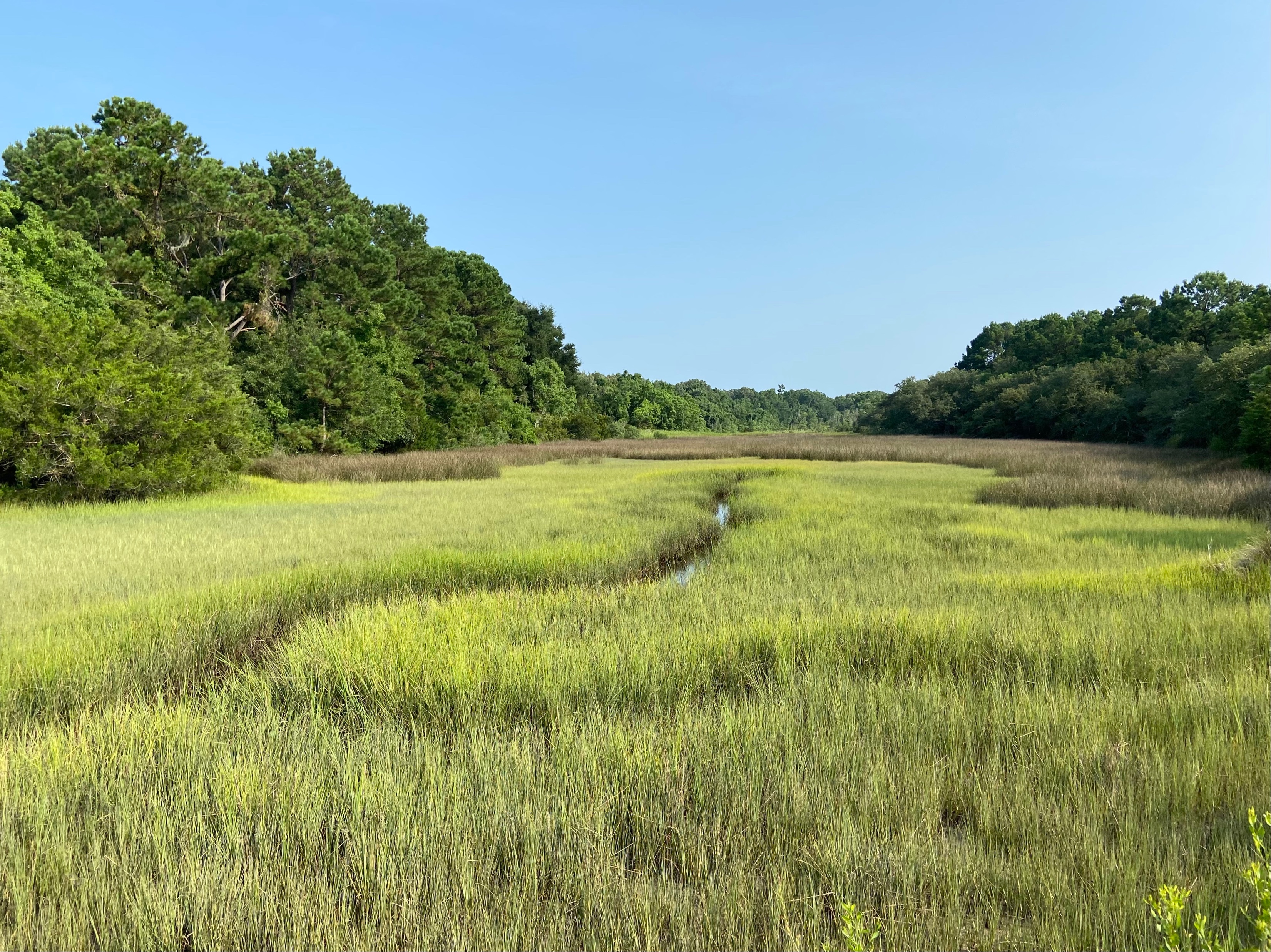
This property on Johns Island is within the CAWS Focus Area (Cooper-Ashley-Wando-Stono) and has approximately 2,700 feet of direct marsh frontage along the Stono River. If protected, the property will serve as critical green infrastructure to protect nearby communities against costly flooding; help establish the cornerstone tract of a perpetual greenbelt at the edge of Charleston’s urban area to help manage growth on rural Johns Island; help preserve the area’s Gullah Geechee cultural heritage; enhance water quality, maintain wildlife habitat, and potentially provide recreational opportunities; and secure public safety by avoiding residential encroachment on flight patterns at the adjacent Johns Island Airport (JZI). The property will be maintained in a natural state ensuring that the property’s wetlands and upland forests perform their critical functions of absorbing storm surge and runoff and providing flood resilience and water filtration. When protected, the undeveloped forests and wetlands of the Oakville/Burden Creek property will act as a sponge and provide braking action on fast-moving flood and storm surge waters. In addition, the property's high-quality mixed forest environment and open fields support a variety of floral and faunal species, providing feeding, nesting and roosting areas for migratory songbirds, waterfowl, and birds of prey, as well as small and large game and non-game mammals. The conservation easement’s buffers will also preserve wide waterfront areas, enabling marsh migration to occur inland as sea level rises, thus contributing to the long-term preservation of an ecosystem that is extraordinarily productive for marine life.