
Property Description
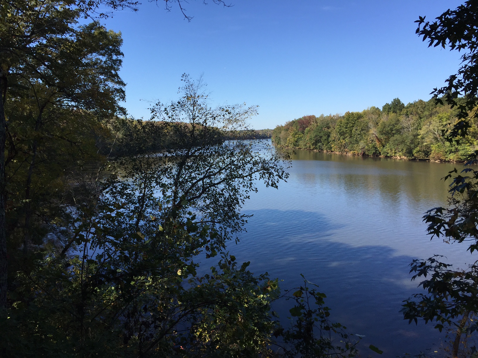
The property leverages previous state, federal, and local conservation investments along the Catawba-Wateree River corridor by adding to the Landsford Canal Wildlife Management Area (WMA) which it abuts. Landsford Canal WMA subsequently abuts the historically significant Landsford Canal State Park at the river. Other conservation lands in the corridor include Katawba Valley Land Trust properties to the north and south as well as Catawba River WMA and Liberty Hill WMA to the south.
Historic site management of the Landsford Addition tract consisted of silviculture in the uplands. The property will provide additional recreational hunting and fishing opportunities as well as a place for wildlife watching, hiking, and educational research (especially bats and herpetofauna). There is 12,000 years of human occupation on the property and likely colonial and antebellum occupation too. The Landsford Addition will benefit communities of plants and animals of conservation concern known or suspected on site. They include the Federally At-Risk plant species Georgia Aster and the Federally Endangered Carolina Heelsplitter, a freshwater mussel species known from waterways within the tract’s creek systems and river. Bottomlands and their associated uplands along river corridors are known for their importance to migratory bird species and are often a hotspot for biodiversity across a range of taxa. The tract and its surrounds should support at least 50 State Wildlife Action Plan (SWAP) species of conservation concern and acreage under management, furthering efforts by the Southeast Conservation Adaption Strategy to reach a “10% or greater improvement in the health, function, and connectivity of Southeastern ecosystems by 2060.”
Property Map
A map for the Landsford Addition Tract has been provided in Google Map format.